DJI ENTERPRISE Terra Cluster Overseas Permanent 1 set (3nodes)
Capture, analyze and visualize your environment with DJI Terra – an easy to use mapping software developed to help industry professionals transform real-world scenarios into digital assets.
Digitise Your Job Site
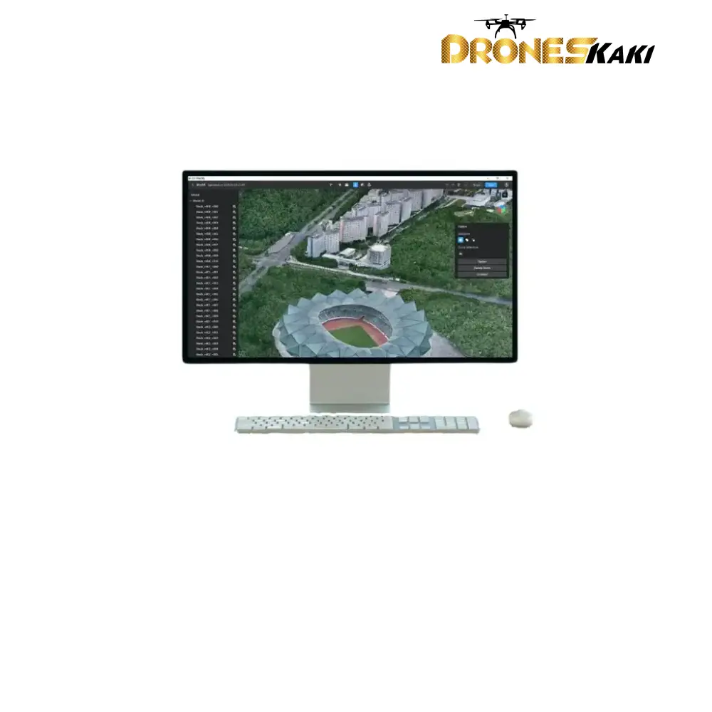
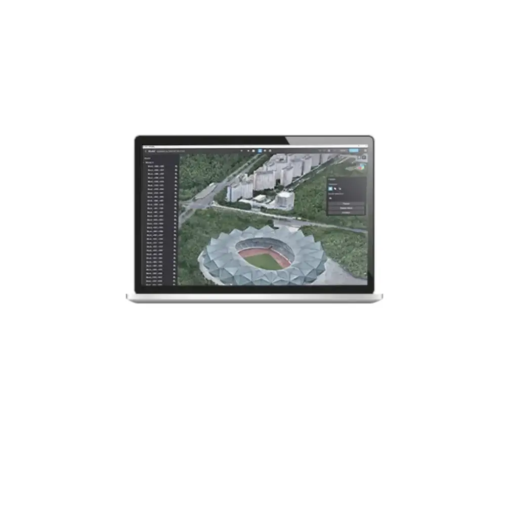
DJI Terra is a 3D modelling and drone mapping software package.
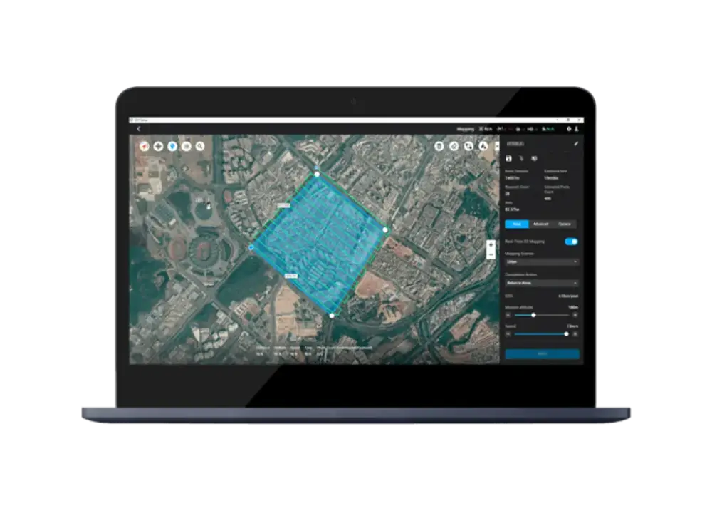
This all-in-one drone mapping solution allows pilots to automate complex missions and collect real-time insights, helping surveyors plan, visualise, process, and analyse drone mapping data.
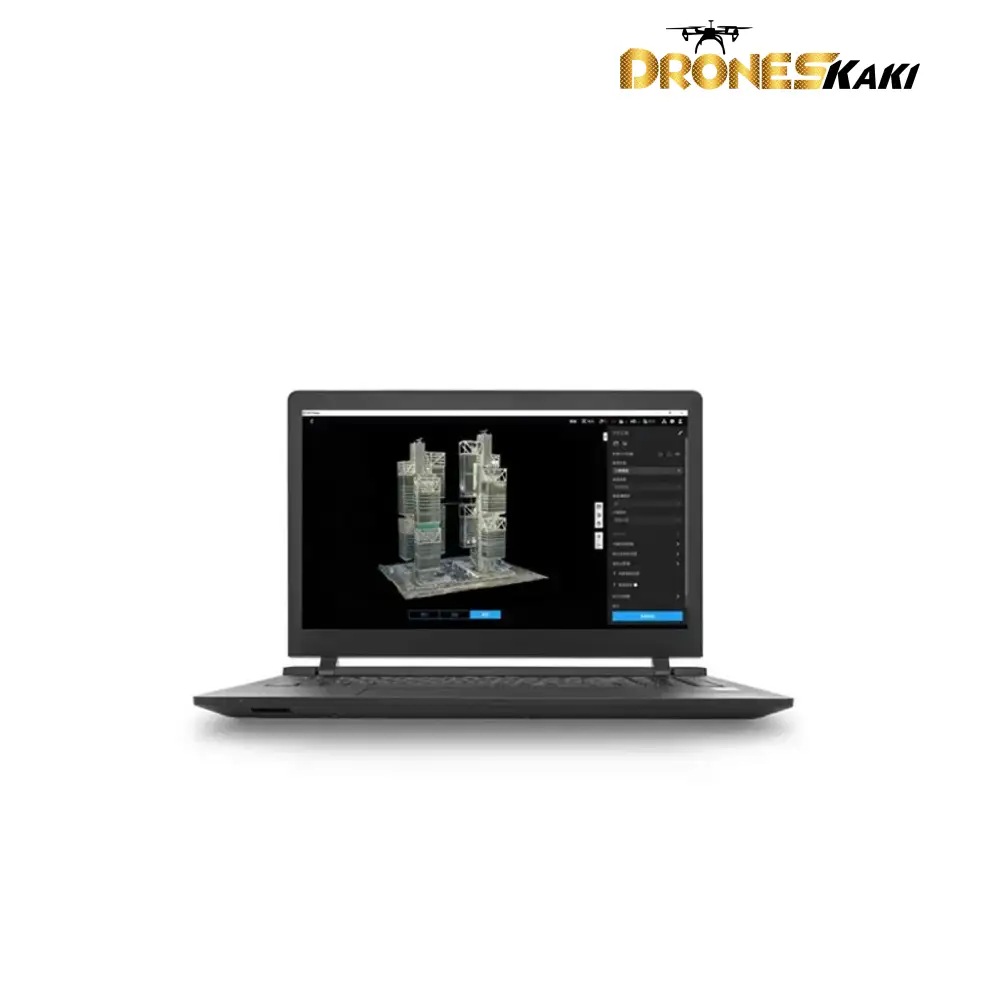
Thanks to DJI Terra, photos captured from your DJI drone can be transformed into high-resolution 2D orthomosaics and fully-navigable 3D reconstructions, allowing organizations to analyse data much more easily and accurately.
The models created in DJI Terra can be used in a huge array of applications, including public safety, construction, infrastructure, and agriculture.
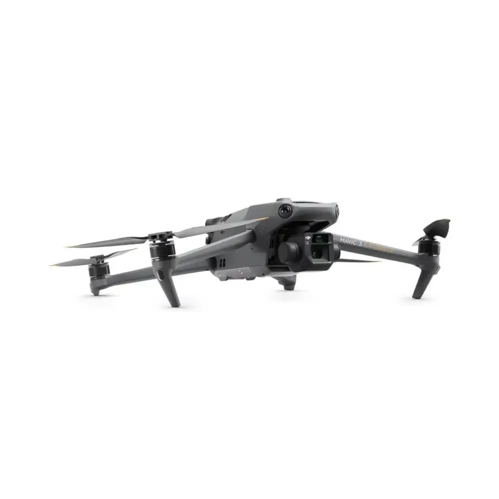
DJI Terra is compatible with the DJI Phantom 4 RTK, Phantom 4 Pro V2.0, Phantom 4 Pro + V2.0, Phantom 4 Pro, Phantom 4 Advanced, Phantom 4, and Phantom 4 Multispectral.
Several licences are available for DJI Terra, including an Electricity package to enable powerline modelling, helping enterprise users create detailed 3D reconstructions of thin powerlines.
The key features of DJI Terra are:
- Drone Mission Planning: Plan flights prior to your operations.
- Data Acquisition: Collect and centralise drone data.
- Area Mapping: Create 3D maps from selected areas.
- Data Analysis: Range of tools to help you obtain measurements such as volume and distance.
More Images

DJI ENTERPRISE Terra Cluster Overseas Permanent 1 set (3nodes)
Capture, analyze and visualize your environment with DJI Terra – an easy to use mapping software developed to help industry professionals transform real-world scenarios into digital assets.
Digitise Your Job Site
DJI Terra is a 3D modelling and drone mapping software package.
This all-in-one drone mapping solution allows pilots to automate complex missions and collect real-time insights, helping surveyors plan, visualise, process, and analyse drone mapping data.
Thanks to DJI Terra, photos captured from your DJI drone can be transformed into high-resolution 2D orthomosaics and fully-navigable 3D reconstructions, allowing organizations to analyse data much more easily and accurately.
The models created in DJI Terra can be used in a huge array of applications, including public safety, construction, infrastructure, and agriculture.
DJI Terra is compatible with the DJI Phantom 4 RTK, Phantom 4 Pro V2.0, Phantom 4 Pro + V2.0, Phantom 4 Pro, Phantom 4 Advanced, Phantom 4, and Phantom 4 Multispectral.
Several licences are available for DJI Terra, including an Electricity package to enable powerline modelling, helping enterprise users create detailed 3D reconstructions of thin powerlines.
The key features of DJI Terra are:
- Drone Mission Planning: Plan flights prior to your operations.
- Data Acquisition: Collect and centralise drone data.
- Area Mapping: Create 3D maps from selected areas.
- Data Analysis: Range of tools to help you obtain measurements such as volume and distance.
Product Information
Product Information
Shipping & Returns
Shipping & Returns
Description
Capture, analyze and visualize your environment with DJI Terra – an easy to use mapping software developed to help industry professionals transform real-world scenarios into digital assets.
Digitise Your Job Site
DJI Terra is a 3D modelling and drone mapping software package.
This all-in-one drone mapping solution allows pilots to automate complex missions and collect real-time insights, helping surveyors plan, visualise, process, and analyse drone mapping data.
Thanks to DJI Terra, photos captured from your DJI drone can be transformed into high-resolution 2D orthomosaics and fully-navigable 3D reconstructions, allowing organizations to analyse data much more easily and accurately.
The models created in DJI Terra can be used in a huge array of applications, including public safety, construction, infrastructure, and agriculture.
DJI Terra is compatible with the DJI Phantom 4 RTK, Phantom 4 Pro V2.0, Phantom 4 Pro + V2.0, Phantom 4 Pro, Phantom 4 Advanced, Phantom 4, and Phantom 4 Multispectral.
Several licences are available for DJI Terra, including an Electricity package to enable powerline modelling, helping enterprise users create detailed 3D reconstructions of thin powerlines.
The key features of DJI Terra are:
- Drone Mission Planning: Plan flights prior to your operations.
- Data Acquisition: Collect and centralise drone data.
- Area Mapping: Create 3D maps from selected areas.
- Data Analysis: Range of tools to help you obtain measurements such as volume and distance.